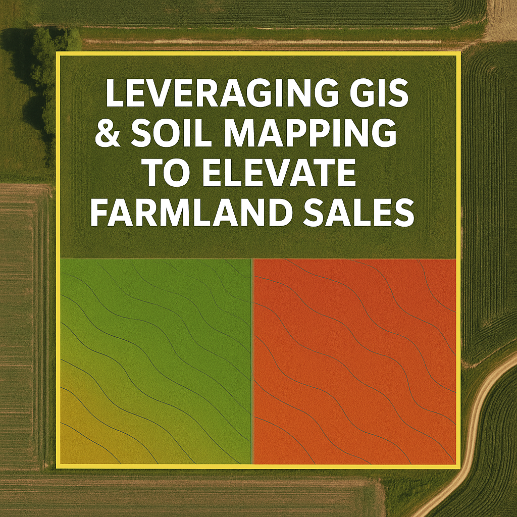
In today’s farmland market, buyers expect data-driven insights, transparency, and confidence in the land’s long-term potential. At Whitaker Marketing Group, we leverage GIS (Geographic Information Systems) and advanced soil mapping to showcase farmland in ways that go far beyond traditional listings.
What is GIS & Digital Soil Mapping?
GIS is a system that captures, stores, and analyzes spatial data, allowing us to create layered maps that reveal key characteristics like soil types, drainage, and topography. According to the USDA NRCS Soil Survey, GIS tools are increasingly vital for evaluating agricultural land. Digital Soil Mapping (DSM) takes this further by using models and remote sensing to predict soil properties across landscapes. Research published in the Frontiers in Soil Science Journal shows how DSM provides higher-resolution soil data that can influence both farming practices and land valuation.
Benefits for Sellers & Buyers
1. Build Buyer Confidence with Clarity
GIS maps allow buyers to see soil fertility, productivity zones, and drainage patterns in one place—helping them understand a farm’s value quickly. Tools like EOS’s GIS in Agriculture highlight how farmers and land managers already use these maps to make better decisions.
2. Showcase Productivity and Land Value
Soil productivity often correlates directly with farmland pricing. The Iowa State University Extension notes that soil quality, drainage, and fertility are leading factors in determining farmland values. By highlighting these features in mapped form, sellers can better demonstrate a property’s long-term return potential.
3. Support Informed Pricing and Investment Decisions
GIS enables suitability analysis, which evaluates which areas are best suited for planting, conservation, or development. The USDA Geospatial Data Gateway provides nationwide datasets that support this kind of land-use planning and marketing.
4. Demonstrate Modern, Pecise Land Management
GIS underpins much of today’s precision agriculture. The USDA Agricultural Research Service reports that precision tools allow GPS-guided planting and variable-rate input applications, practices buyers value when considering land investments.
5. Elevate Listings with Credibility and Detail
When listings incorporate data from trusted sources like the NRCS Web Soil Survey, buyers can validate soil types and productivity themselves. This transparency adds credibility to the sale.
How Whitaker Marketing Group Uses GIS & Soil Mapping
1. Parcel Evaluation – We pull boundary data and overlay it with NRCS soil survey information.
2. Generate Contextual Maps – Layer visuals to show slope, drainage, and soil classifications.
3. Data-Backed Descriptions – Write listing narratives that explain soil productivity and management zones in clear language.
4. Advanced Insights – Use DSM to show predictive values like carbon content and water-holding capacity.
Final Thoughts
At Whitaker Marketing Group, mapping is more than a tool—it’s a story. By combining soil data, productivity insights, and precision technology, we help sellers position their land for success and buyers invest with confidence.
515-996-5263 |✉️info@wmgauction.com